Our Services
Spatial Insights
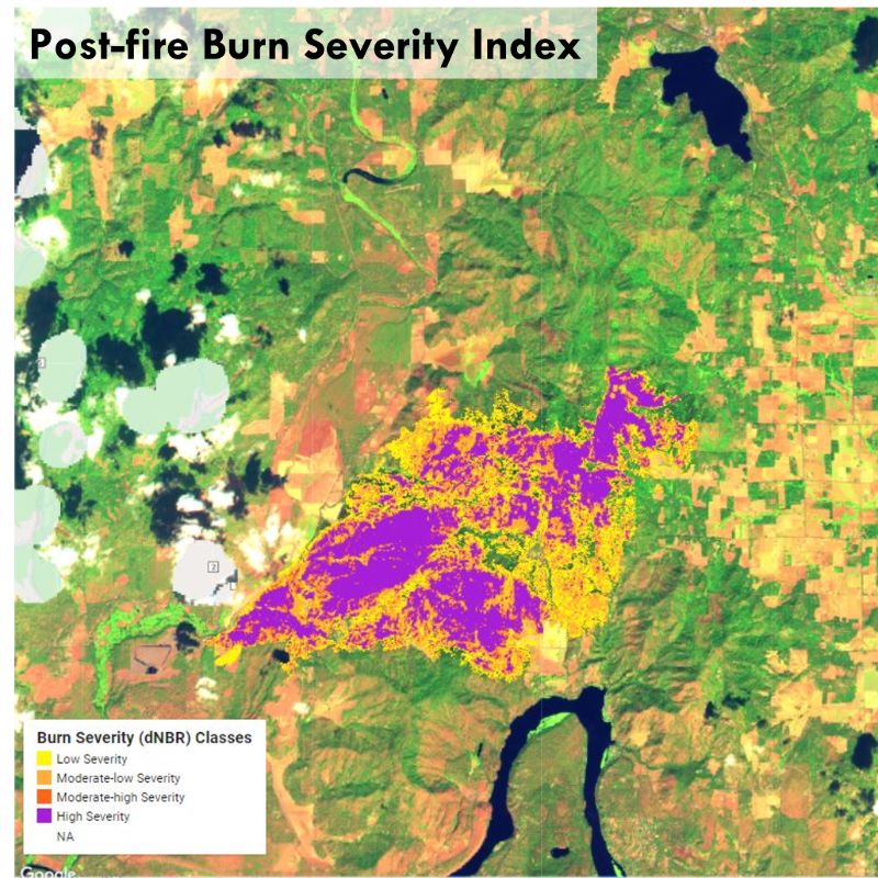
Spatial Analysis & Remote Sensing
We can help you dig deeper into geospatial data. We are experts acquiring data from a variety of sources - from government satellites to our own GPS receivers on the ground. We will present your findings in maps, tables, and figures. Previous projects have included:
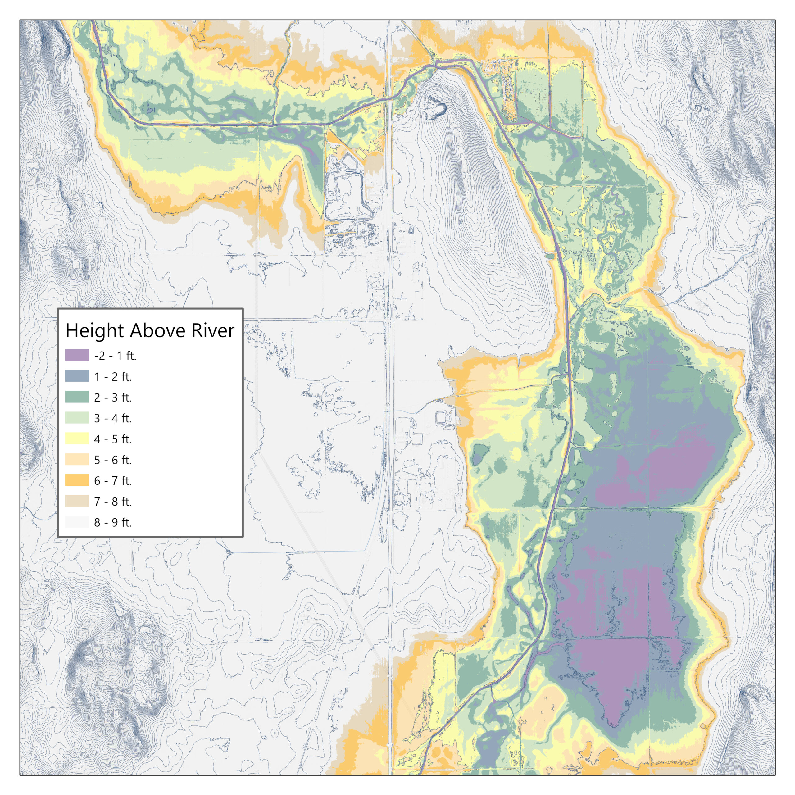
- Height above River analysis
- Riparian buffer width assessment
- Buildable lands analysis
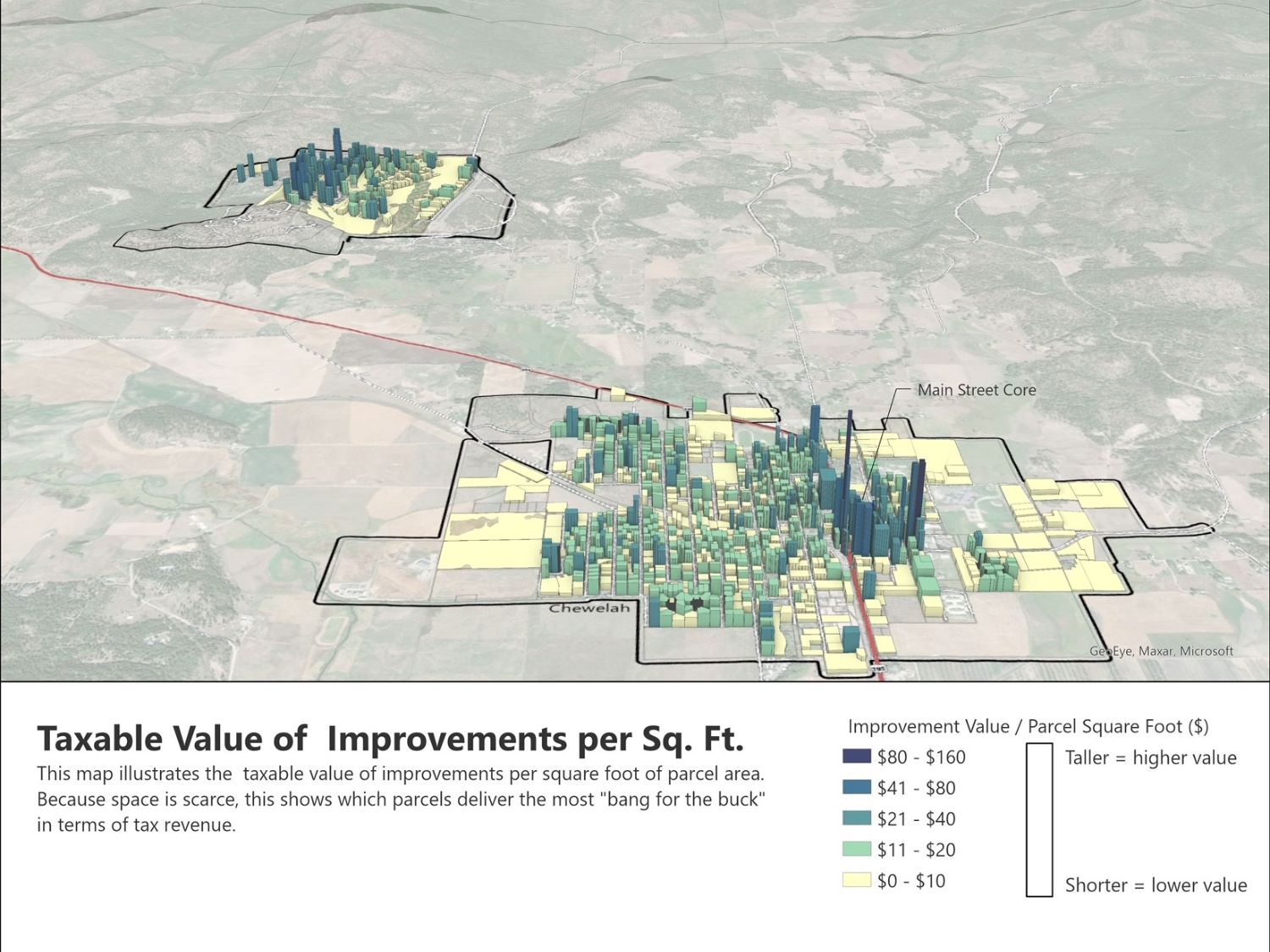
- Property tax revenue analysis
- Lawn size analysis and outdoor irrigation estimates
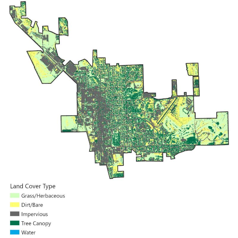
- Landcover classification using deep learning and neural networks
- High resolution landcover change detection
- Tree canopy coverage and height analysis
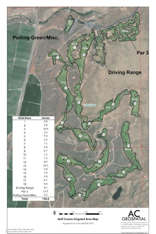
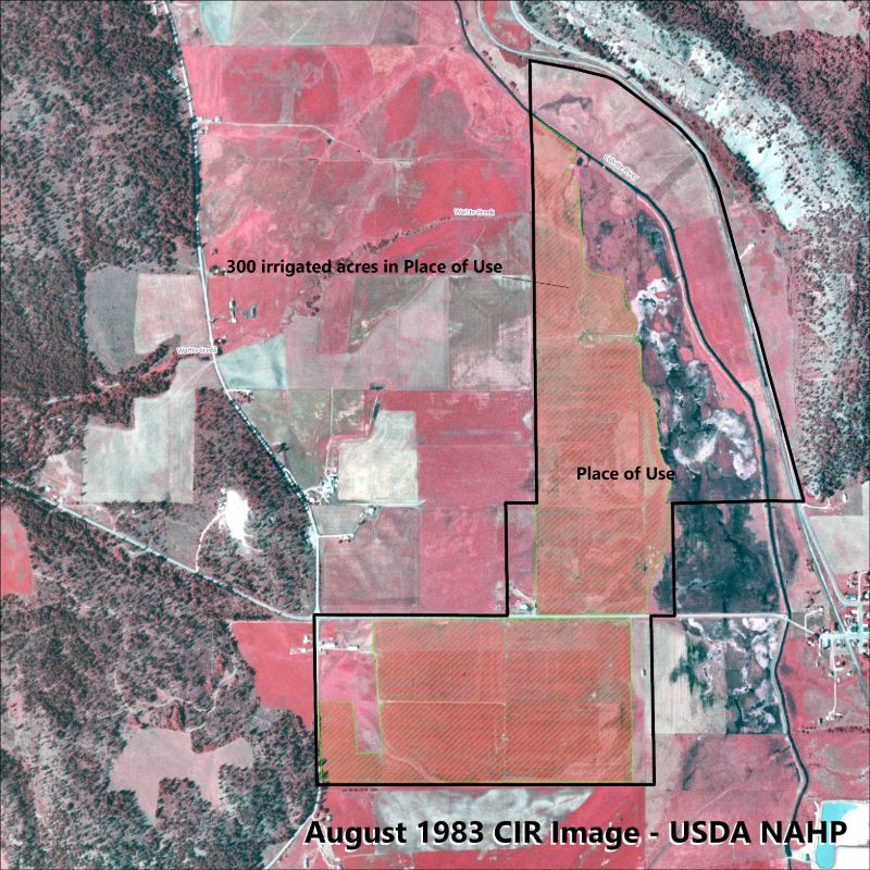
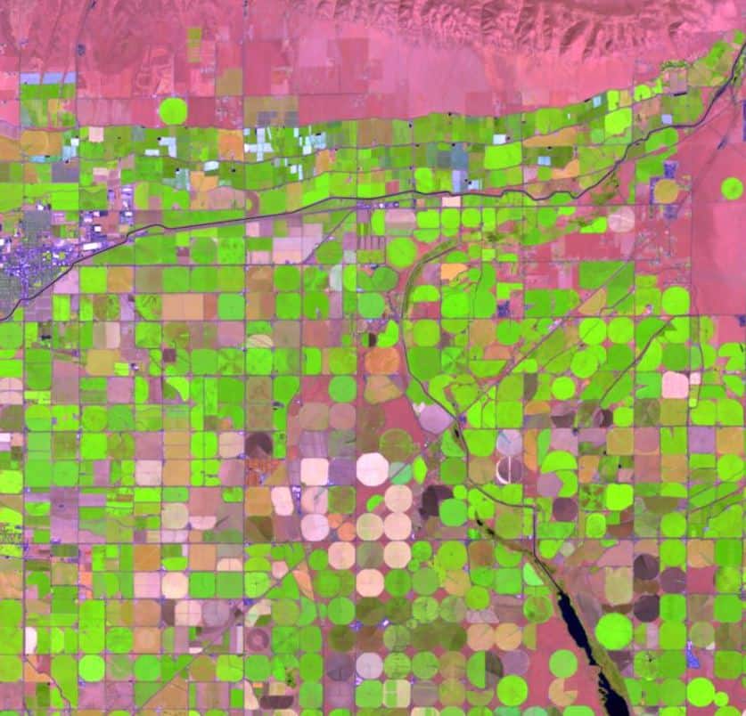
- Historic irrigation analysis using multispectral satellite imagery
Telling Your Story
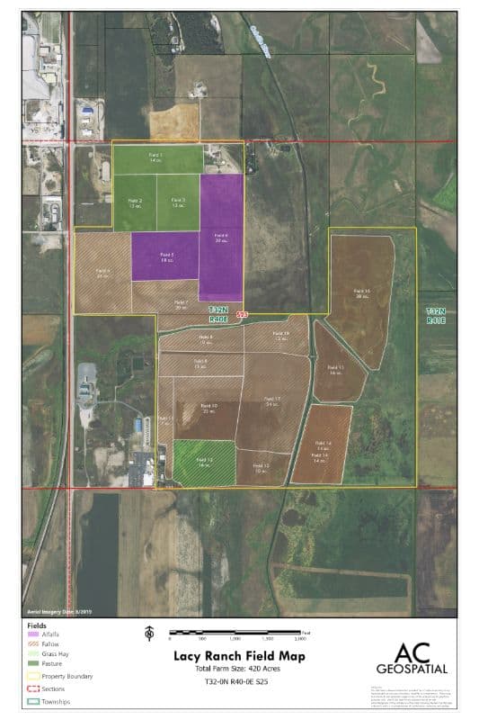
Custom Cartography
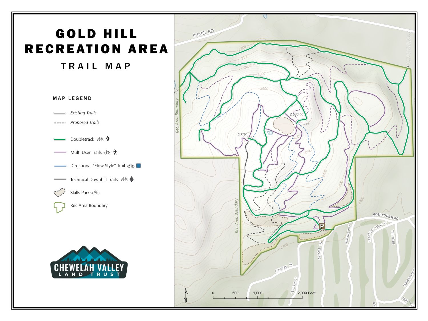
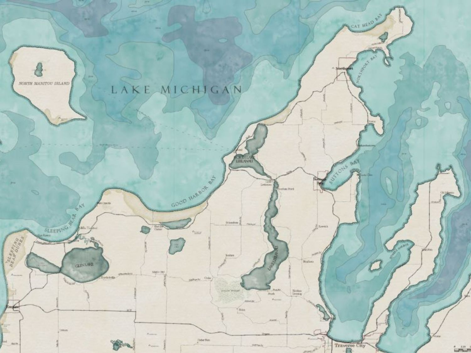
We can help your organization communicate with the public through maps, data visualizations, and reports. We leverage our experience in planning and public policy to create clear, professional-quality communications, tailored to your desired audience.
Examples include customized city street maps, hiking trail maps, artistically stylized map posters, and informational display maps.
Get a Bird's Eye View
Drone Photography and Mapping
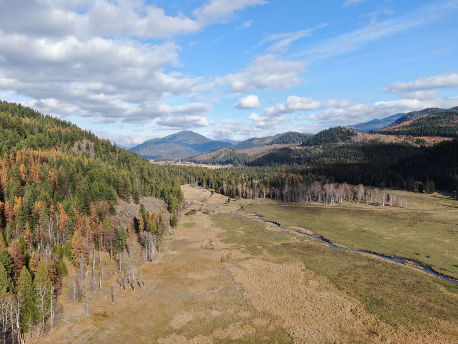
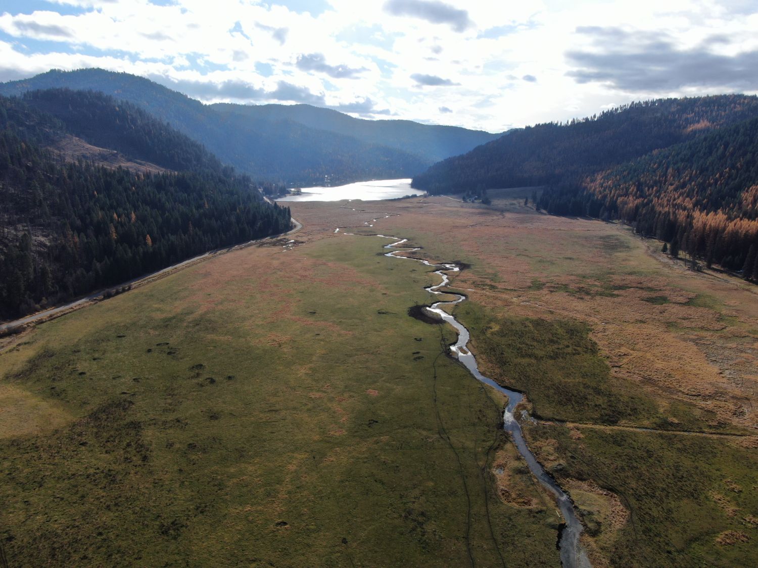
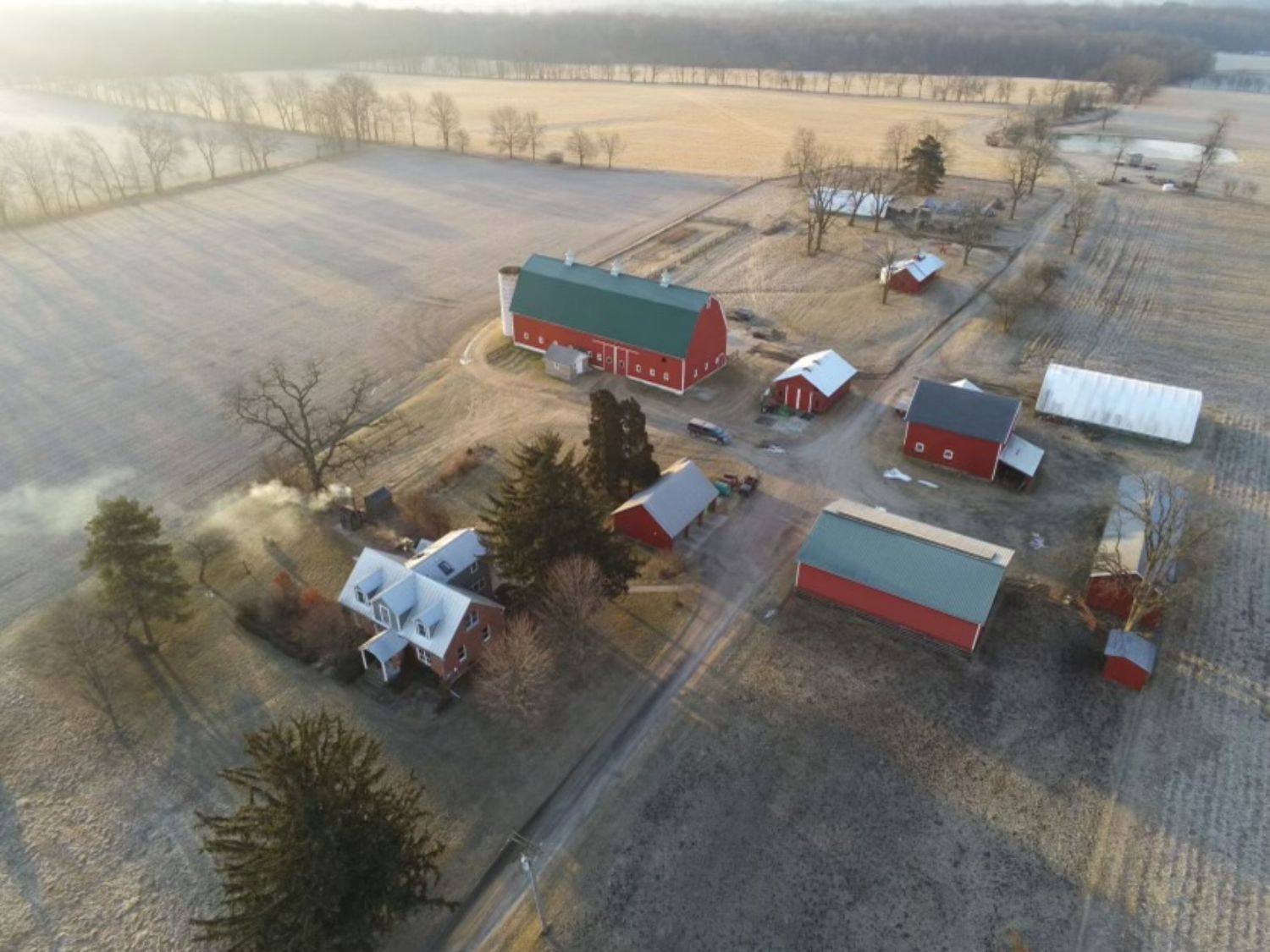
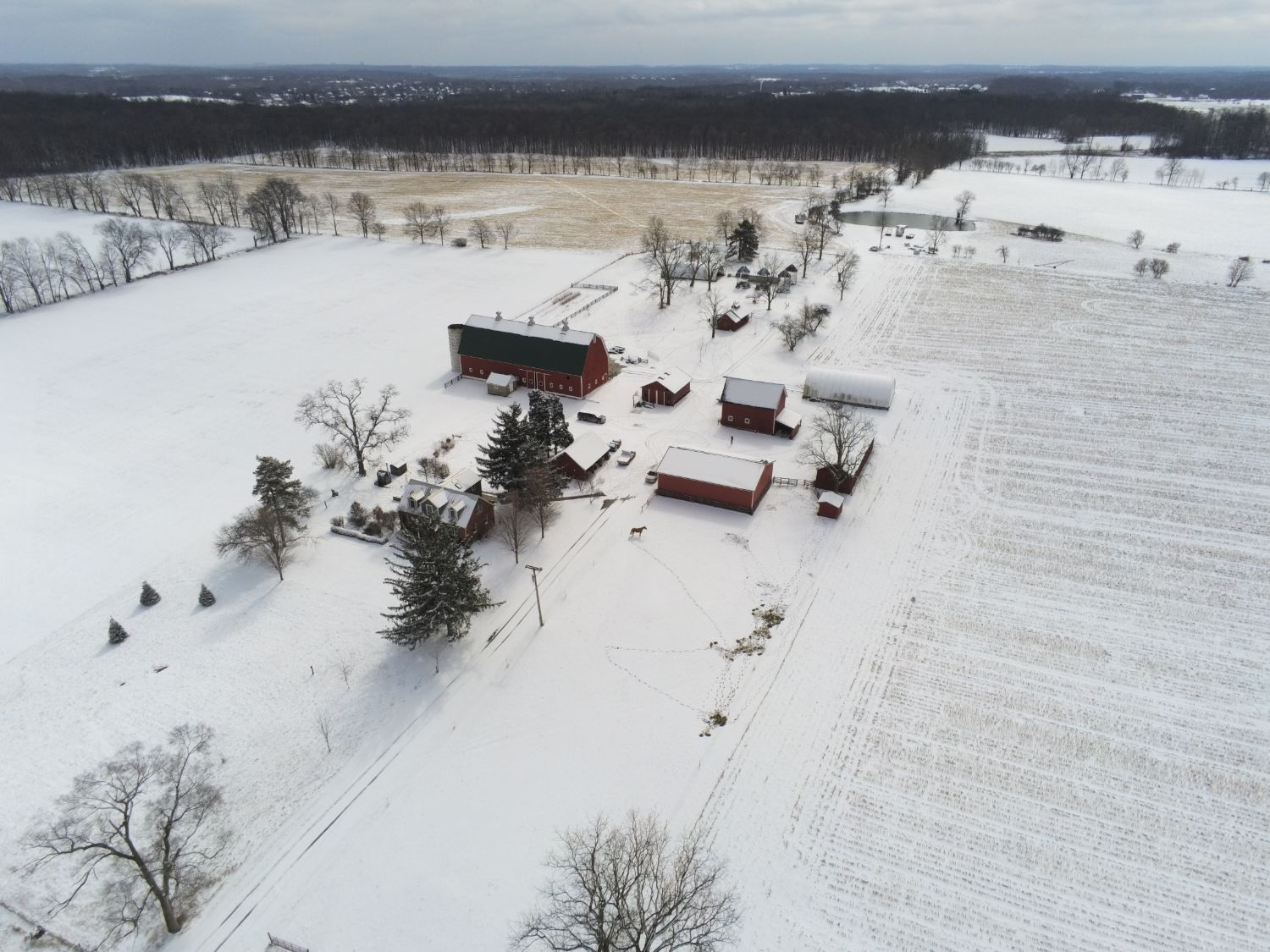
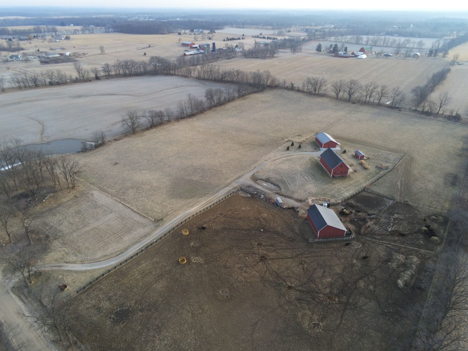
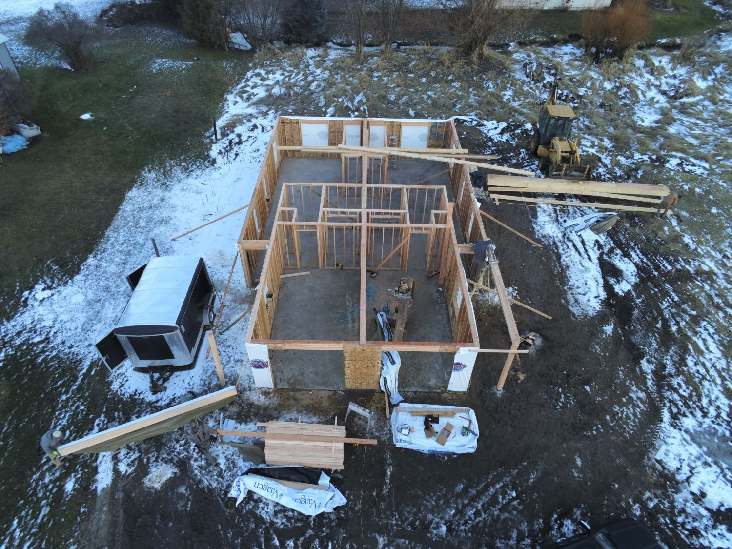
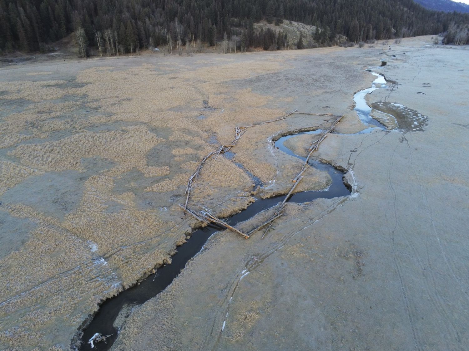
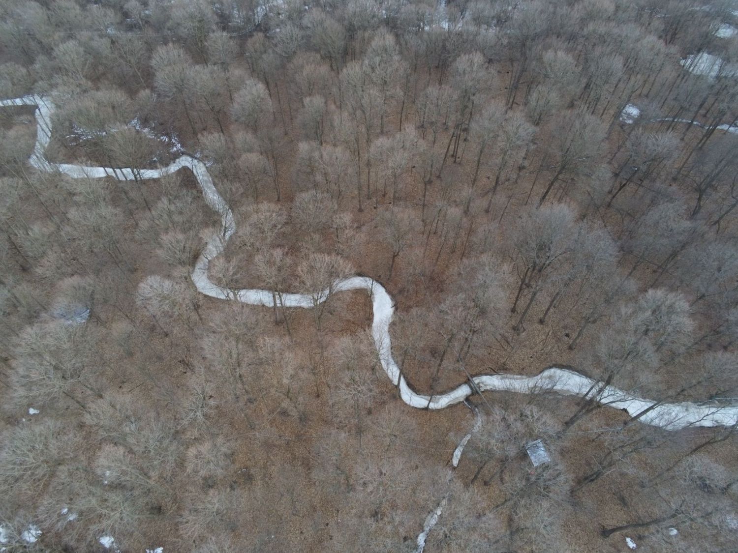
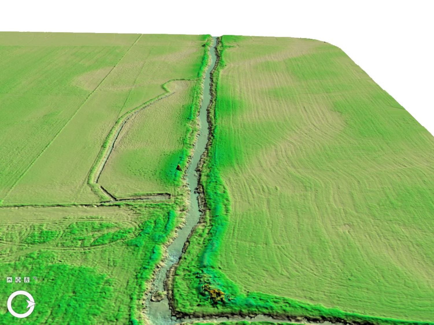
AC GEO provides professional drone mapping services, including site photos, high resolution orthomosaics, and 3D surface models. We hold FAA Part 107 commercial drone certifications, and have over 100 hours of flight experience with both quad-copter and fixed wing drones.
Click here for our drone services flyer.

